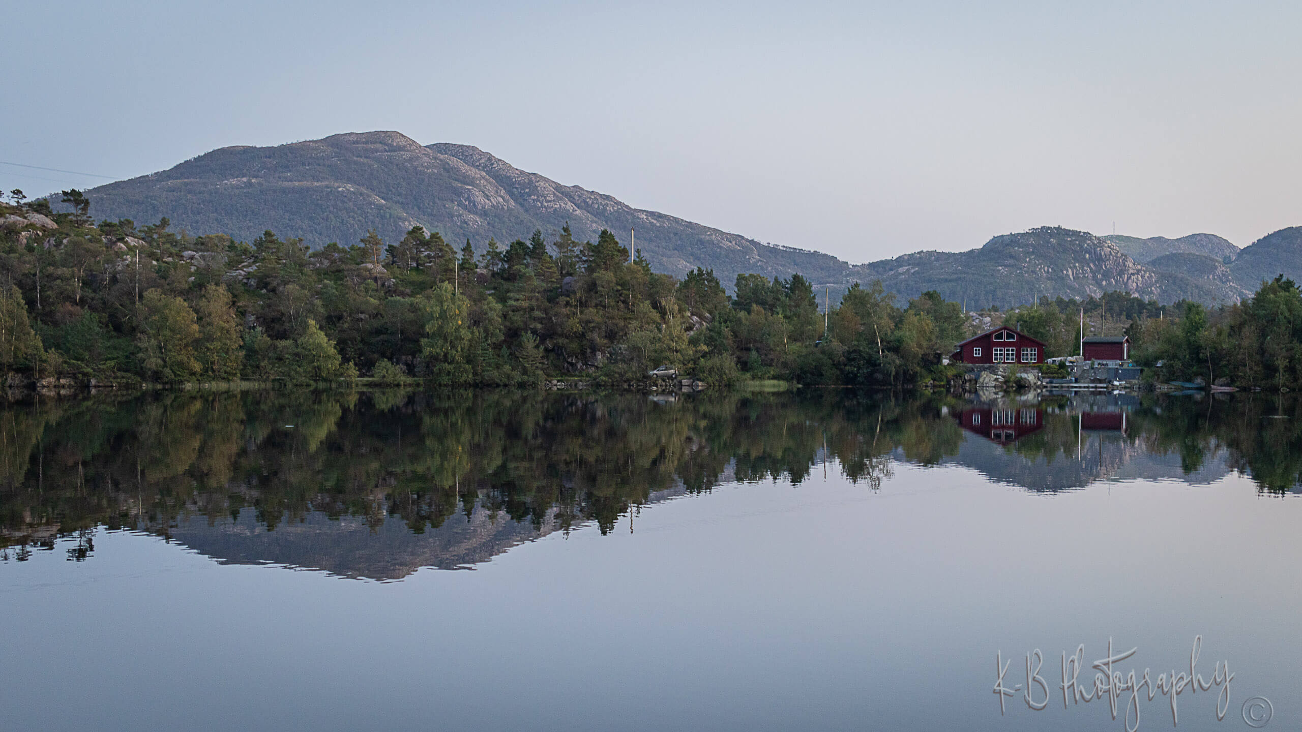
About 500 million years ago, a meteorite hit the earth and created a 2.7 km wide and 400 m deep impact crater in a shallow sea. The crater was filled with marine sediments and later geological processes buried it deeply under the ground. But erosion and the relentless action of water and ice brought this geological treasure back to the surface close to the Ritland farm in Hjelmeland, Ryfylke, on the border of the Vormedalsheia protected landscape area. The crater is easily accessible and essentially untouched, and the area shows, with a bit of help, the history of this violent event and what happened afterwards. In and around the crater, you can find evidence of 500 million years of geological history. You can also find traces of the impact itself, fossil-rich mountain rock and unique mountain plants in e.g. Øyastølmyra natural reserve.
Hiking to Ritlandskrateret
From Kleivaland, follow the marked trail to the lean-to shelter, enjoying a view of Ritlandskrateret.A shocking geological story:
When the Ritland meteoroid hit the earth, the Ritland area was a shallow sea with a clay bottom. The meteoroid was about 100-150 m wide and traveled with a speed of 20 km/s towards the earth. A tremendous amount of energy was released when the meteoroid hit the ground. The meteoroid evaporated and disappeared and a crater 2,7 km wide and 400 m deep was created. The mountain rocks in the wide area where broken by the impact and the temperature became so high, that the rocks near the place of impact melted and created a special type of rock, called suevite. Water and rocks were thrown up in the air for more than 3 km and flung more than 4 km away from the impact site. The mountain rocks contained small grains of quartz mineral, whose very crystal structure was shocked and changed by the force of the impact. There's only one natural event that can create this kind of changes and that's a meteorite impact! Afterwards, the crater was first filled with stone and rocks that slided down from the steep crater edge. Later the crater was filled with clay and sand, and maybe other sediments. About 200 million years after the impact, the western mountain chains in Norway were built and the crater was pressed more than 4 km under the ground by the overlying mountains. Due to the heat at these depths, the clay layers were transformed to shale, sand to sandstone and the broken mountain rocks to hard rocks, like granite. Later in geological history, glaciers and rivers partially removed the top layers and erosion took away the major part of the crater edge and shale inside the crater. But the eastern part of the crater was preserved, just like we can observe it today.

Ritlandskrateret
Hot
1745 0 0 0 2
K
Kurt
Updated
Alias Names
Ritland Crater
Accessible
Accessible
Time Recomended
2 Hours - Return Trip
Other Info
Length : 6-7km, Difficulty : Medium, Climb : 363m
Map
{{#ratings}}
{{title}}
{{#ownerCreatedBlock}}
{{/ownerCreatedBlock}}
{{#category}}
{{#editor}}
{{/editor}}
{{#user}}
{{/user}}
{{/ratings}}
-
{{#owner}}
-
{{#url}}
{{#avatarSrc}}
{{name}} {{/url}} {{^url}} {{#avatar}} {{& avatar}} {{/avatar}} {{name}} {{/url}} - {{/owner}} {{#created}}
- {{created}} {{/created}}
Category: {{category.title}}
{{/category}}
{{#fields}}
{{#showLabel}}
{{/fields}}
{{label}}:
{{/showLabel}}
{{& text}}


