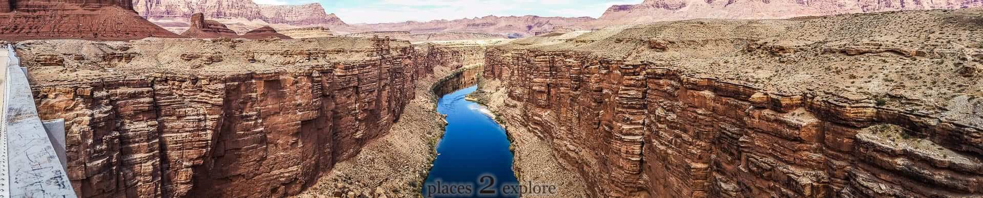
Gloppedalsura consists of avalanche boulders that are piled on top of an end moraine.
10,000 years ago the ice sheet that covered the area, melted away. For a period of time the massive end moraine dammed the Hunnedal river's former course, towards Veen and Vikeså, and formed a lake in Byrkjedalsgryta. The terraces in Byrkjedal at 240 metres altitude are evidence of this moraine-dammed lake. The annual cycle of frost and expanding ice broke free a vast number of boulders and rocks and sent them tumbling down the southern mountainside. This debris settled as a 100-metre thick scree on top of the moraine.
Hunnedal river and the lake in Byrkjedalsgryta were forced to find a new outlet; the water burrowed a gully from Byrkjedal towards Gilja - Giljajuvet.
Directions: Drive from Ålgård towards FV45 Dirdal and Byrkjedal. Follow signs a couple hundred metres past Byrkjedalstunet.

Gloppedalsura Scree
831 0 0 0 0
K
Kurt
Updated
Accessible
Accessible
Map
User reviews
1 review
Would you recomend this place?
4.0(1)
Already have an account? Log in now
Would you recomend this place?
4.0
Been here a couple times,last was in Easter of 2020, we drove up to it while we was on our way to Bleiefossen. Was also here in 2016 which is when these shots was taken.
K
{{#ratings}}
{{title}}
{{#ownerCreatedBlock}}
{{/ownerCreatedBlock}}
{{#category}}
{{#editor}}
{{/editor}}
{{#user}}
{{/user}}
{{/ratings}}
-
{{#owner}}
-
{{#url}}
{{#avatarSrc}}
{{name}} {{/url}} {{^url}} {{#avatar}} {{& avatar}} {{/avatar}} {{name}} {{/url}} - {{/owner}} {{#created}}
- {{created}} {{/created}}
Category: {{category.title}}
{{/category}}
{{#fields}}
{{#showLabel}}
{{/fields}}
{{label}}:
{{/showLabel}}
{{& text}}